Excavation Efficiency: Using Lidar and Drones in 2 Steps
LiDAR topographic survey, just in time before site servicing and excavation works.
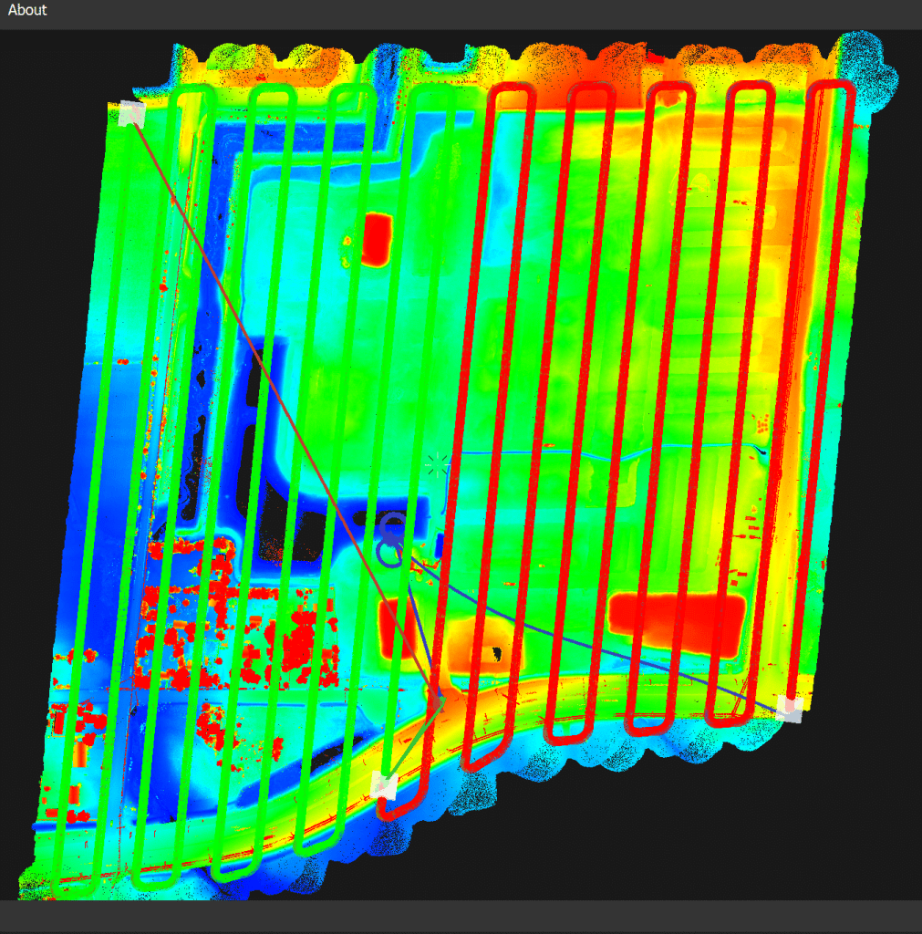
When it comes to accurate data that makes a difference, Stratus Geomatics delivers. A perfect DTM surface makes the difference for our sewer and watermain client, ensuring they know exactly how much material is on site and where to move it.
After a careful, detailed LiDAR drone flight, we meticulously extracted every trace of vegetation and removed water anomalies, revealing a pristine point cloud that vividly captures the ground surface contours. Following this, we crafted a sophisticated CAD-compatible surface in Trimble Business Center, empowering our client’s geomatics department to assess the volume of surplus soil accurately and ensuring a smooth, efficient project execution.
Utilizing a LiDAR technology provider like Stratus Geomatics for pre-excavation topographic surveys significantly reduces costs for construction companies involved in earthworks, sewer, and water main installations. By providing precise, high-resolution data, LiDAR enhances project planning and execution, minimizing the risk of costly errors and delays. This technology streamlines GPS integration, ensuring accurate mapping of existing infrastructure —a crucial factor for efficient earthworks operations and installations.
For construction companies, adopting a LiDAR service provider for topographic surveys improves resource allocation and reduces unforeseen expenses. Accurate data helps in identifying potential issues before work begins, leading to smoother operations in sewer and water main projects. By investing in LiDAR technology, businesses can improve their competitive edge, enhance project outcomes, and ultimately save money in the long run.
Choosing Stratus Aerial Geomatics as your go-to drone service provider for LiDAR surveys comes with a bunch of fantastic benefits that we can’t wait to share with you! We’re all about embracing the latest technology, and our commitment to staying ahead of the game means you’ll receive top-notch service that truly stands out. One of the things that sets us apart is our dedication to training and development. We know that drone tech and LiDAR methods are always changing, so our team is constantly learning and sharpening their skills. By keeping up with the newest techniques and software updates, we ensure your surveys are conducted with the best tools available.
We also take pride in our cutting-edge equipment, which allows us to gather aerial data that’s not just accurate, but also detailed and precise. With our latest drone platforms and lidar sensors, we can capture high-resolution data that meets the needs of various fields, from construction to environmental assessments. This means faster data collection and quicker turnaround times for you! At Stratus Aerial Geomatics, we believe that getting the best aerial survey goes beyond just technology; it’s about understanding your unique project needs and paying attention to all the little details.
Our friendly, experienced team works closely with you to make sure we’re capturing the data that really matters for your project. So, when you partner with us for your lidar survey needs, you’re not just getting a service provider; you’re gaining a dedicated team that’s passionate about delivering great results.
Let’s work together to achieve amazing outcomes!