Tomorrow's future, enabled by today's data.
Stratus Aerial Geomatics
Ontario’s premier drone mapping and surveying services provider, proud to work with construction and engineering teams throughout the GTA and across Ontario. We make land surveying and mapping easy to understand and highly accurate, so you get the info you need to keep your projects moving forward. With our expertise in drone surveying (LiDAR), bathymetry, professional GPS equipment, and specialized services like GPS data prep and machine control files, we provide solutions tailored to both business owners and engineers. We’re dedicated to excellent customer service—delivering results faster than expected and saving our clients, on average, 40% compared to traditional handheld GPS topographic surveys. When you work with Stratus, you get straight answers, dependable data, and a partner focused on your bottom line.
Pre-Construction Services
- Topographic surveys.
- Pre-development assessment (LiDAR Vegetation Quantification).
- Terrain modelling.
- Road condition survey – using UAV.
- Profiles/contours mapping.
- LiDAR scanning / 3D laser scanning.
- Progress monitoring.
- CAD processing/analysis.
Construction Services
- Cut/fill plans.
- Site grading and earthworks.
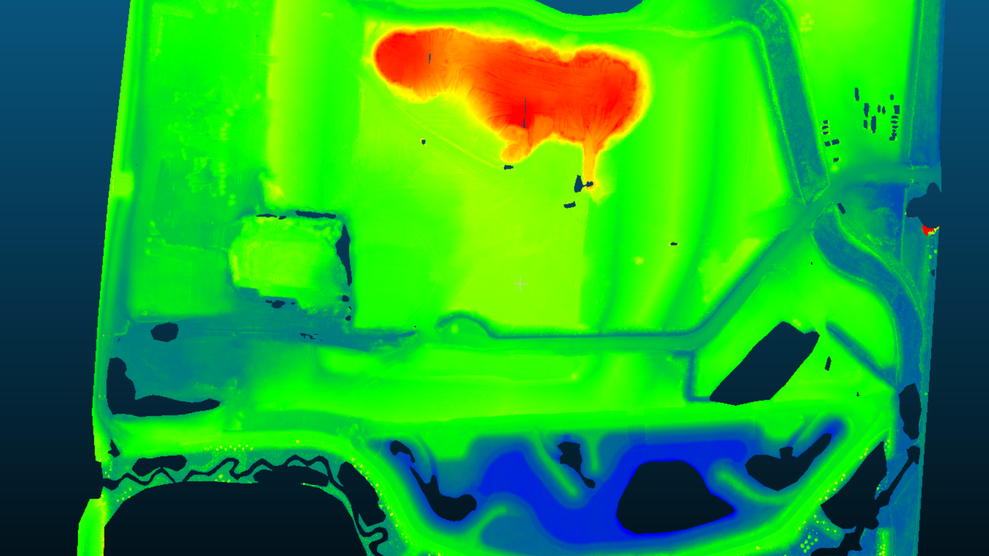
- Volumetric surveys.
- Profile/contour generation.
- Inspection services.
- Construction staking.
- As-constructed surveys.
- Bathymetric surveys.
- Quality assurance/quality control surveys and management.
- Mapping, documentation, and inspection.
- Site construction monitoring.
Assumption Services
- Damage reports & assessments within municipal R.O.W. – using UAV LiDAR & photogrammetry providing high-resolution georeferenced imagery or surveys.
- Pre/post utility inspection.
- Responsibility assessments.
- Geo-referenced data for dispute resolution facilitation.
- As-constructed lot grading plans.
- Geo-reference data acquisition and processing for municipal by-law compliance services.
Our Technologies
LiDAR Topo

LiDAR Services
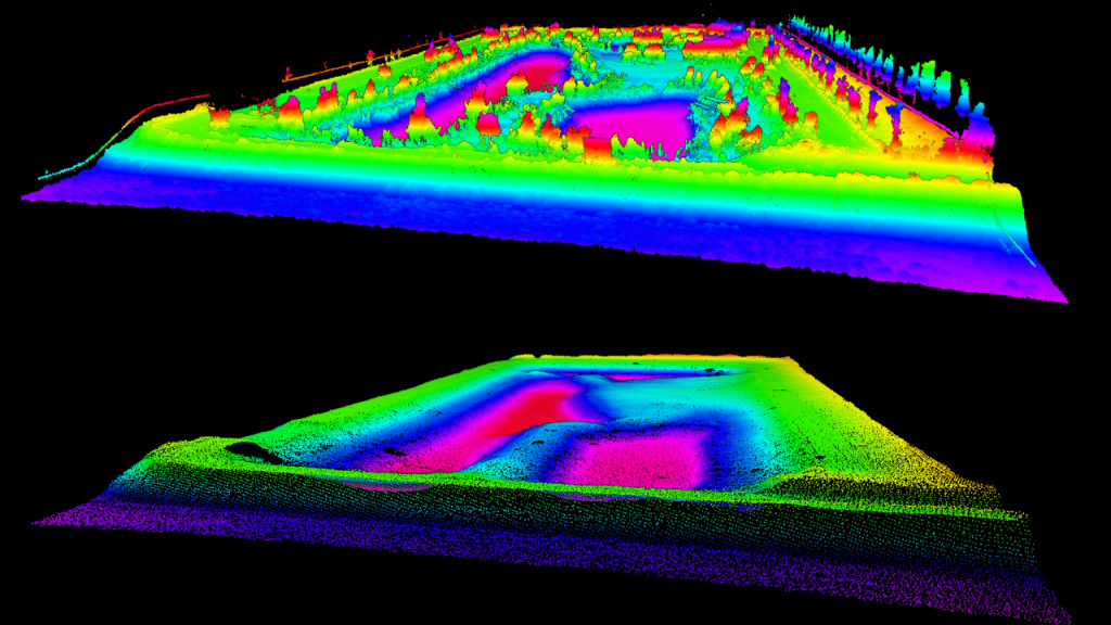
Lidar (/ˈlaɪdɑːr/, also LIDAR, or LiDAR) is a method for determining ranges (variable distance) by targeting an object with a laser and measuring the time for the reflected light to return to the receiver. LiDAR can also be used to make digital 3-D representations of areas on the earth’s surface and ocean bottom due to differences in laser return times and varying laser wavelengths. It has terrestrial, airborne, and mobile applications.
Stratus utilizes LiDAR technology to create high-resolution maps, with applications in surveying, engineering, architecture, and forestry.
Find out how you can benefit from our lidar mapping services today!
We use several processes and software to analyze, classify and produce relevant data pertaining to project specifics.

Photogrammetry
Photogrammetry /fō-tə-ˈgra-mə-trē/ is the science of making reliable measurements by the use of photographs and especially aerial photographs (as in surveying) to create 3D models, drawings, maps, and marketing materials, often used by surveyors, engineers and architects.
Stratus utilize high-resolution UAV mounted cameras to obtain high-quality RGB images. We process these images through complex software analysis, creating accurate geo-referenced 3D models, terrain data, geo-tiff files, and other industry-standard geo-based file formats. We use photogrammetry in conjunction with our LiDAR toolset to deliver on very demanding and specific projects.
See how your company can employ cost savings while getting mind-blowingly accurate data with our industrial drone services!

Bathymetry
Bathymetry (/bəˈθɪmətri/; from Ancient Greek βαθύς (bathus) ‘deep’, and μέτρον (metron) ‘measure’) is the study of underwater depth analysis within various basins. Bathymetric surveys usually show basin floor relief or terrain as contour lines (called depth contours or isobaths) and selected depths (soundings).
Bathymetric maps may also use a Digital Terrain Model and artificial illumination techniques to illustrate the portrayed depths.
Stratus uses unmanned small scale vessels equipped with onboard sonar and data acquisition equipment to obtain and produce high-quality basin topographic surveys. Typical uses for our clients include pre and post pond cleaning without dewatering and underwater / submerged infrastructure mapping.

GNSS Receivers
Global navigation satellite system (GNSS) describes any satellite constellation that provides positioning, navigation, and timing (PNT) services worldwide or regionally.
Stratus uses GPS and GNSS signals via a GPS/GNSS receiver and antenna to determine the form, boundary, position of objects or points in space relative to other forms, boundaries or points.
We utilize this technology in conjunction with all our aerial-based surveying, whether LiDAR, Photogromattery or during inclement weather conditions at which UAV flights become prohibited.

Our Equipment
- InertialLabs RESEPI Lidar 720,000 returns/second – High accuracy lidar remote sensing payload.
- Matrice 300 RTK with D-RTK 2 GNSS Base Station – Enterprise-level drone for our LiDAR payload.
- Matrice 210 V2 RTK with D-RTK 2 GNSS Base Station – Enterprise-level drone for inspections and large-scale photogrammetry.
- Phantom 4 RTK with D-RTK 2 GNSS Base Station – Our dedicated photogrammetry drone.
- GeoMax Zoom 50 Total Station – Benchmark transfers, accurate measurements, and GPS-denied environments are where this piece of equipment shines.
- Hemisphere S631 Combo with Tilt Function – GNSS Based L1/L2/L5 Base and Rover used to collect ground control points and traditionally obtain ground features, staking, and as-constructed surveys. An excellent backup for small sites and inclement weather when UAVs cannot be used. Foliage and powerline interference are no match for these units.
- EMLID Reach RS2 GNSS – Static observation and crucial tool for our PPK data collection.
- Bathymetric boat with single beam echosounder – Essential tool for bathymetric data acquisition.
- Algiz RT8 Tablet Data Collector – Ruggedized Data collector used during base and rover GNSS point generation.
- Workstation for CAD Processing – High-end AMD 5950X with RTX3090 video card along with 64Gb RAM.
- Workstation for LiDAR / Photogrammetry – High-end AMD 5950X with RTX3090 video card along with 64Gb RAM.
- Two field processing notebooks for remote work – Core i7 10th Gen processor with RTX3070 and 32Gb RAM.

Our Software
- UGcS – Our primary automated mission planning tool for UAV and USV.
- Hydromagic – Bathymetry all-in-one software.
- MicroSurvey FieldGenius – Field software for our GNSS base/rover used in data collection, GCP acquisition and staking features.
- PcMaster GL – LiDAR strip alignment.
- PcPainter GL – LiDAR point cloud colourization.
- Agisoft Metashape – Flagship photogrammetry processing.
- BlueMarble GlobalMapper – Our workhorse and GIS suite.
- BlueMarble GeoCalc – Geographic calculator, used for working with projections and ellipsoidal heights and datum transformations.
- AutoCAD Civil 3D – What we finish our work with, all our finished files go through Civil 3D.

Get to Know Us
Our team of professionals with diverse backgrounds in innovation, technology, and engineering practices, drive aerial data acquisition boundaries, enhancing operational efficiency through workflow improvements, and data intelligence.
We provide cutting-edge solutions using a wide range of equipment comprised of custom-built data acquisition payloads, enterprise-level Unmanned Aerial Systems (UAS) and Multi-band RTK GNSS receivers with centimetre precision ground stations. This perfect synergy generates high-yielding results directly translating into greater efficiency and the ability to make data-driven business decisions.
Featured projects
Bathymetric Survey & LiDAR Mapping for Stormwater Management Pond Rehabilitation
Pre-Cleaning and Post-Cleaning Bathymetric Survey
Provide quantities and as-built to confirm pond design.
November 15, 2025LiDAR Survey,Topographic Surveys,Construction SurveyBradford,Ontario
Urban Roadway Construction with Integrated Sanitary and Storm Sewer Infrastructure – Construction Surveying
Urban Construction Layout, on-time and on-budget.
Deadlines met in difficult terrain, overcoming challenges.
November 15, 2025Construction Survey,Construction LayoutToronto
GPS Data Prep and Curb Layout
From engineering firm CAD Files, to GPS data prep.
From GPS data prep to accurate curb layout.
November 10, 2025Construction Survey,Construction LayoutVaughan,Ontario
5 Key Benefits of GPS Data Processing for Elevated Project Success
Localization, OG Topo, CAD work, GPS and Machine Control Data Prep.
Our client got the full package in less than 24 hours from job start.
November 6, 2025LiDAR Survey,Topographic Surveys,Machine and GPS Data PrepOntario,Vaughan
Elevate Your Construction Project with LiDAR Precision! 1 – Day Results on Complex Terrain
LiDAR saved the day!
Irregular terrain prevented an effective Hand Held GPS Topo.
Excavation Efficiency: Using Lidar and Drones in 2 Steps
Stratus Geomatics provides timely LiDAR topographic surveys before site servicing.
LiDAR point cloud turned into a TBC machine control reference surface.
November 6, 2025LiDAR Survey,GPS Survey,3D SurfaceOntario,Oakville


