
LiDAR Survey and CAD Surface for Oakville Excavation Planning
LiDAR topographic survey before site servicing and excavation
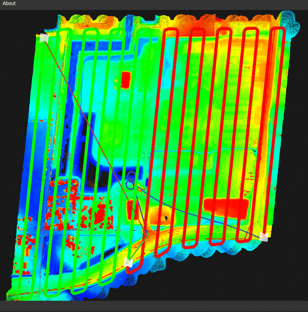
Stratus Geomatics surveyed the existing surface for a sewer and watermain construction project in Oakville. The LiDAR point cloud was processed to support the client’s assessment of the site before excavation.
From point cloud to CAD surface
Vegetation returns and water-related anomalies were reviewed during processing. A ground surface was prepared in Trimble Business Center for the client’s geomatics team to use in its quantity and excavation workflow.
A terrain model represents the ground supported by the available observations. Areas with limited ground returns, water or occlusion require review and may need supplementary observations. A model should not be described as a perfect representation of every part of the site.
Using the surface for quantities
Quantity results depend on the survey boundary, date and comparison surface. These assumptions should be agreed and documented before using the results to plan soil movement. Any cost or time savings depend on the project and construction decisions.
Discuss your excavation survey scope:


Check out our many projects showcased on our Instagram page.