Construction layout for Ontario contractors
Stratus Geomatics supports construction teams with layout based on the project’s approved drawings, reference system and site control. Agree the features to be set out, the construction stage and the required checks before the crew mobilizes.
Request a construction layout quote. Include the site address, current drawing package, requested work, schedule and site contact.
Prepare the current design information
Provide approved drawings and available CAD files, with their issue dates and revisions. Identify the control points, benchmarks, coordinate system and vertical datum to be used. Conflicting dimensions, missing elevations or unclear design intent need resolution by the responsible project team before they are transferred to the field.
Define the field scope and handover
Confirm the requested points, lines, offsets or elevations, access restrictions and sequencing with other trades. Layout, verification and as-built measurement are different tasks; include each required service in the scope. The required tolerance, checking procedure and handover records should reflect the construction task. Layout from supplied designs does not replace design approval or a legal boundary survey.
Project examples and related services
Need digital files for the crew or machine? See GPS and machine-control data preparation. Need existing-ground information first? See LiDAR topographic surveying.
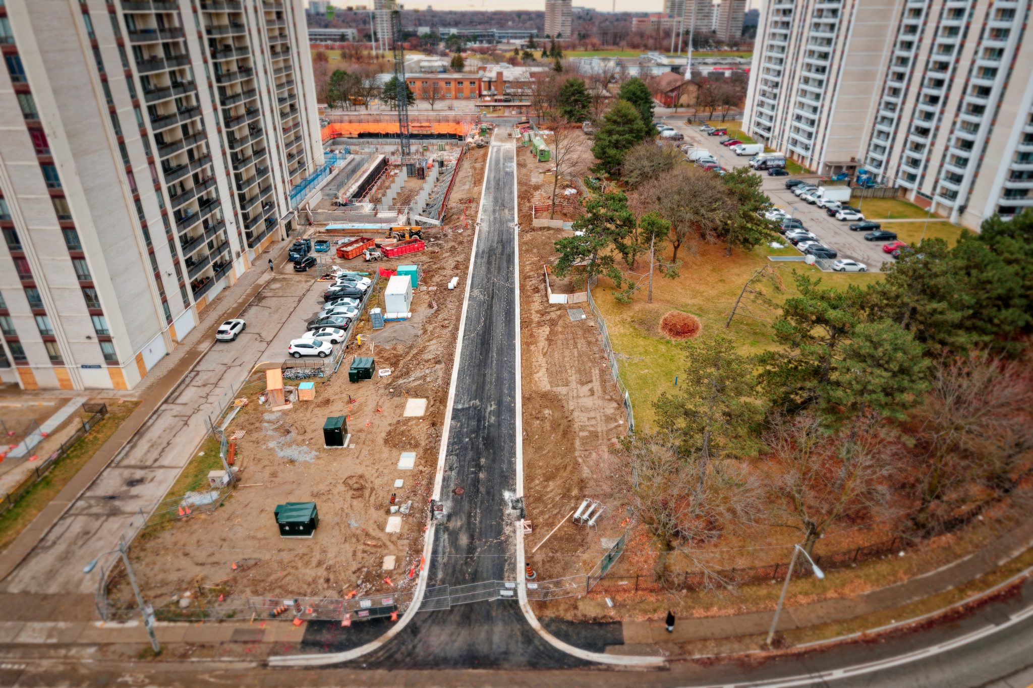
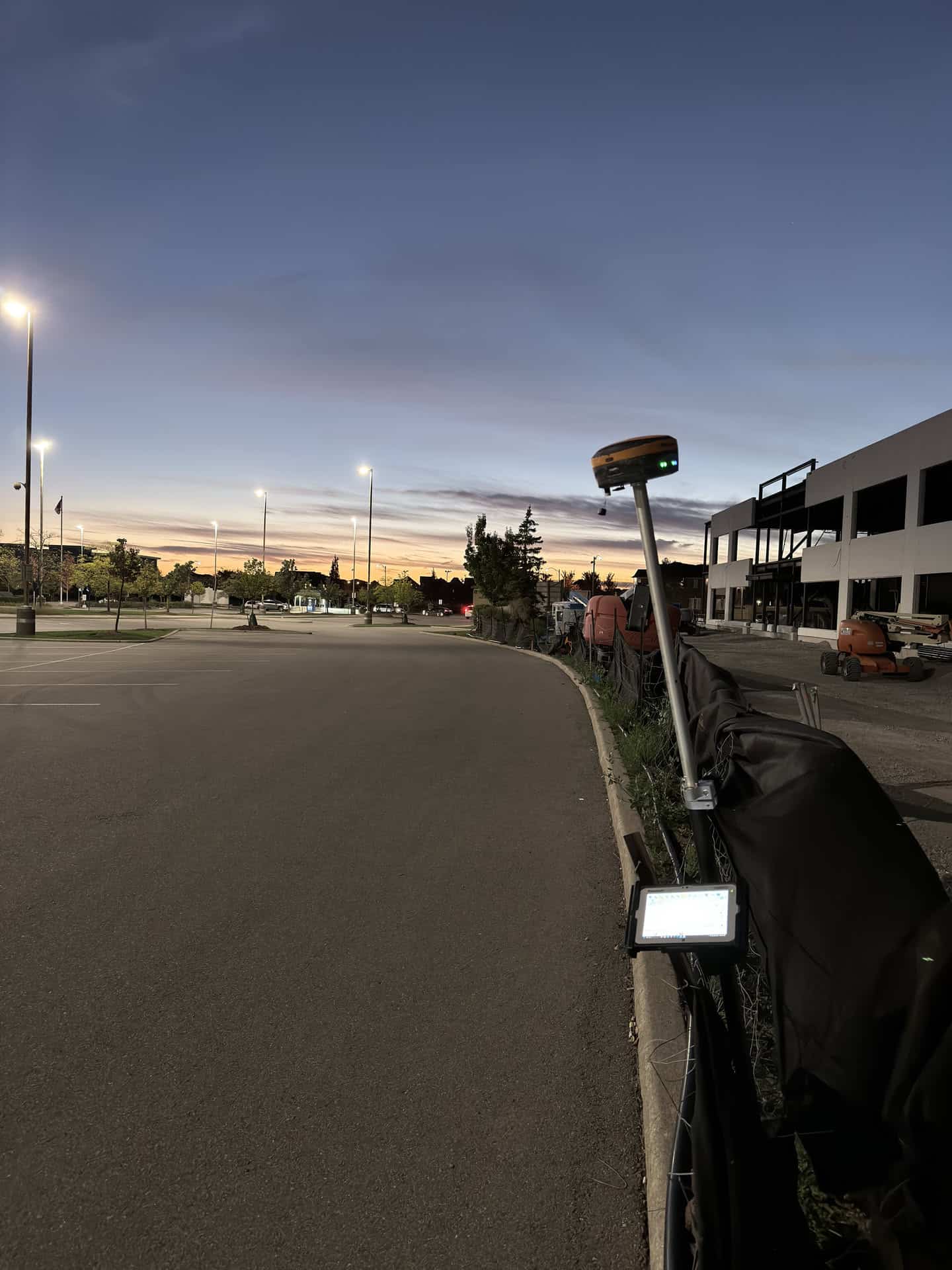
Construction layout project examples