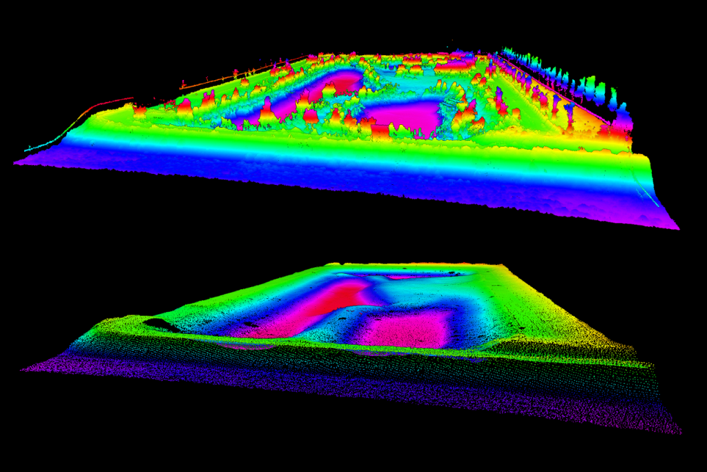
Drone LiDAR surveys for Ontario construction and engineering

Stratus Geomatics provides drone LiDAR surveying for development, construction and earthworks projects across Ontario, including Toronto and the GTA. Start with the decision your survey needs to support: existing-ground mapping, a grading comparison, stockpile quantities or construction progress. We can then scope the coverage, control and outputs around that purpose.

Request a LiDAR survey quote or explore the project examples below.

Terrain models and deliverables

Depending on the agreed scope, outputs can include classified LAS/LAZ point clouds, a ground terrain model, contours, CAD information and orthomosaic imagery. Confirm the required DWG/DXF, TIN/DEM or other exchange format with your designer or receiving software before work starts. A point cloud, a ground model and a model of visible objects serve different purposes; tell us which your workflow needs.

Wooded and vegetated sites

LiDAR can capture ground returns through gaps in vegetation, making it useful where photographs mainly show the canopy. Dense undergrowth, water and areas with limited ground returns still need attention. Vegetation, season, access and the required level of detail affect the survey plan. Where required by the scope, supplementary ground observations can help resolve areas the aerial survey cannot adequately define.

Stockpile volumes and cut-and-fill comparisons

For stockpiles, agree the pile boundaries and base surface used in the calculation. For cut-and-fill, provide the approved comparison surface or drawings, revision and area of interest. Survey dates and surface assumptions belong with the quantity report. Volume is not automatically a weight: any density, bulking or compaction factors need separate agreement.

Control, checks and quote inputs

Send the site address, survey boundary, approximate area, intended use, required deliverables and schedule. Include available survey control, benchmark information, coordinate system, vertical datum and design files. The required accuracy and checking approach should be agreed for the project; an equipment specification alone is not proof of the delivered surface’s accuracy.

Related project evidence

Need another part of the workflow? Explore GPS and machine-control data preparation or construction layout.

LiDAR project examples

Bathymetric Survey Bradford Pond

Bathymetric Survey & LiDAR Mapping for Stormwater Management Pond Rehabilitation

Bathymetric Survey & LiDAR Mapping for Stormwater Management Pond Rehabilitation At Stratus Geomatics, we continue to support contractors and engineering teams with accurate and dependable survey data for critical municipal…


GPS Data Processing

GPS Data Processing for Construction: Scope, Checks and Compatibility

Introduction GPS data processing connects supplied construction drawings, site control and field equipment. This guide explains the practical checks that help construction teams use the information: input quality, clear deliverables,…
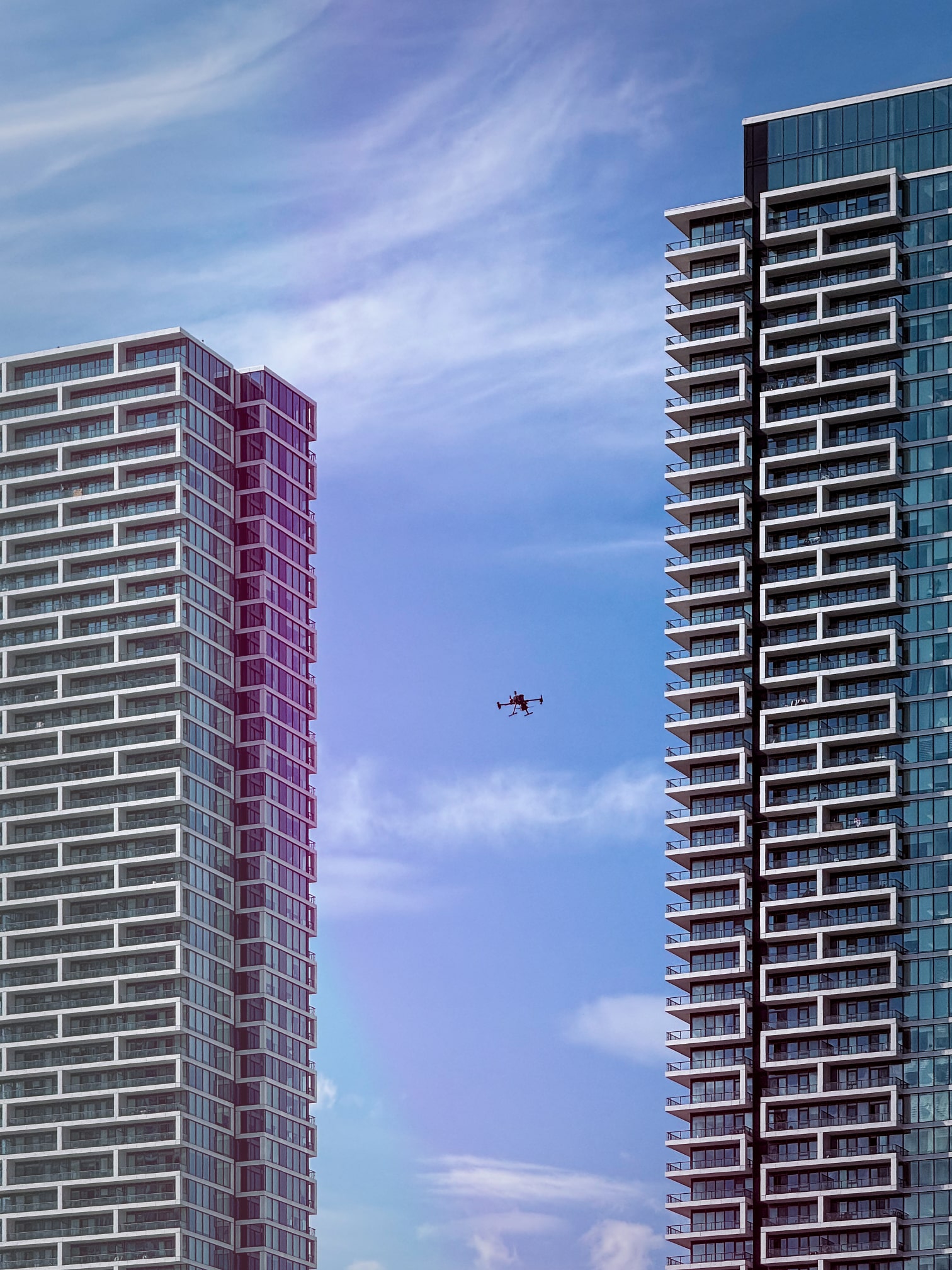

lidar drone vaughan

LiDAR and GPS Topographic Survey for a Vaughan Construction Site

LiDAR and GPS surveying for a Vaughan construction site The site near Jane Street and Highway 7 contained irregular gravel and topsoil piles. Stratus combined LiDAR and GPS topographic work to record the exposed site surface and support…


Topographic map with elevation gradients

LiDAR Survey and CAD Surface for Oakville Excavation Planning

LiDAR topographic survey before site servicing and excavation Stratus Geomatics surveyed the existing surface for a sewer and watermain construction project in Oakville. The LiDAR point cloud was processed to support the client's…


Point Cloud

LiDAR Survey for a 160-Acre Earthworks Site in Chippawa

LiDAR mapping for a 160-acre earthworks site in Chippawa Stratus Geomatics carried out a LiDAR topographic survey of ongoing earthworks in Chippawa, Ontario. The work provided surface information for the client's assessment of fill…


Stratus Aerial Geomatics logo design

Stratus Aerial Geomatics
Serving Toronto, the GTA and Ontario
Service-area business — visits at project sites
Monday–Saturday: 6 a.m.–6 p.m. (Eastern)
Sunday: Closed
Telephone: (800) 385-6116