
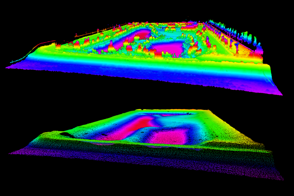
Bathymetric Survey & LiDAR Mapping for Stormwater Management Pond Rehabilitation
Bathymetric Survey & LiDAR Mapping for Stormwater Management Pond Rehabilitation At Stratus Geomatics, we continue to support contractors and engineering teams with accurate and dependable survey data for critical municipal…

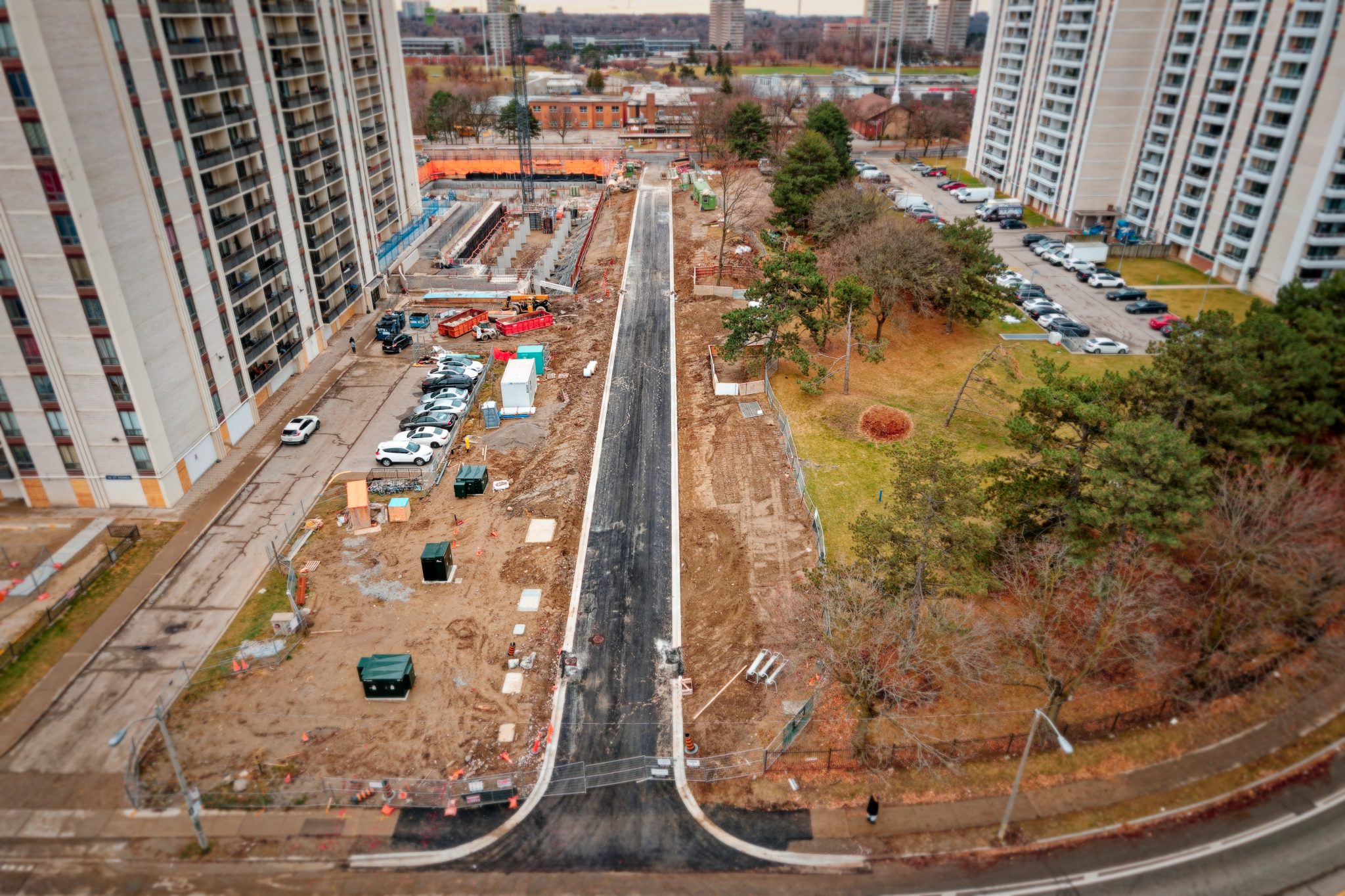
Urban Roadway Construction with Integrated Sanitary and Storm Sewer Infrastructure - Construction Surveying
Urban Roadway Addition with Integrated Sanitary and Storm Sewer Infrastructure – Construction Surveying As part of ongoing municipal infrastructure improvements, Stratus Geomatics provided full surveying services for the…
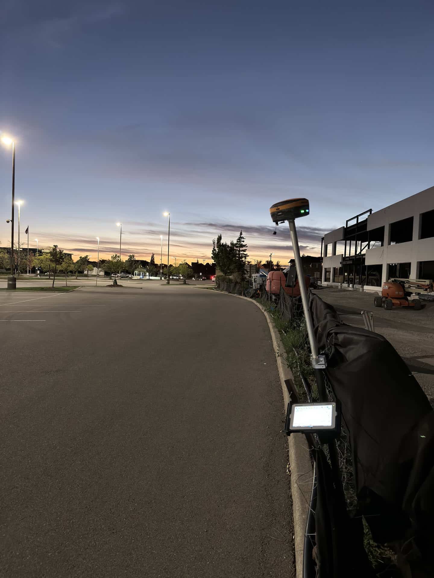
GPS Data Prep and Curb Layout
Introduction The precision engineering field is continually evolving, with advancements in technology allowing for greater accuracy and efficiency in project execution. One such advancement is the integration of GPS data preparation into…

GPS Data Processing for Construction: Scope, Checks and Compatibility
Introduction GPS data processing connects supplied construction drawings, site control and field equipment. This guide explains the practical checks that help construction teams use the information: input quality, clear deliverables,…
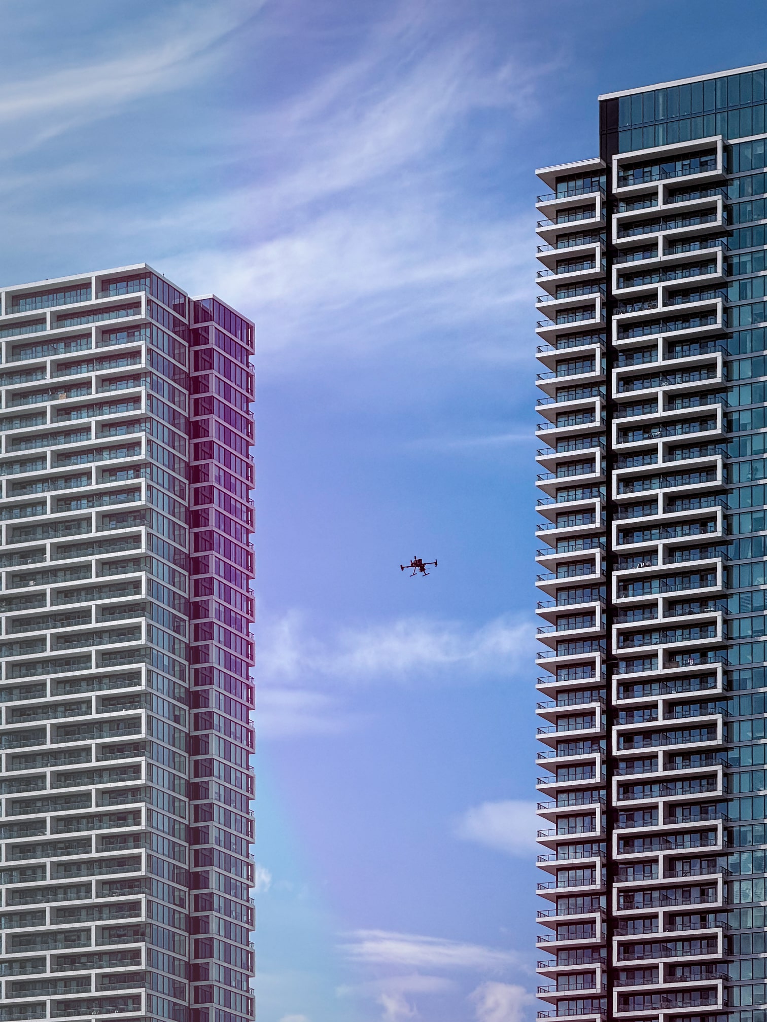
LiDAR and GPS Topographic Survey for a Vaughan Construction Site
LiDAR and GPS surveying for a Vaughan construction site The site near Jane Street and Highway 7 contained irregular gravel and topsoil piles. Stratus combined LiDAR and GPS topographic work to record the exposed site surface and support…

LiDAR Survey and CAD Surface for Oakville Excavation Planning
LiDAR topographic survey before site servicing and excavation Stratus Geomatics surveyed the existing surface for a sewer and watermain construction project in Oakville. The LiDAR point cloud was processed to support the client's…

LiDAR Survey for a 160-Acre Earthworks Site in Chippawa
LiDAR mapping for a 160-acre earthworks site in Chippawa Stratus Geomatics carried out a LiDAR topographic survey of ongoing earthworks in Chippawa, Ontario. The work provided surface information for the client's assessment of fill…